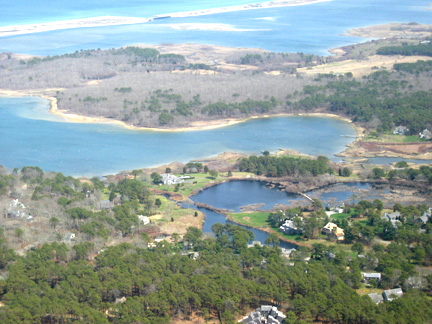
1.Catalog your land cover percentages (CATEGORIES INCLUDE built - urban, built - suburban, grassland, forest, mountain, water, wetland.)
2. Explore population information:
a. Population Clocks
http://www.census.gov/population/www/
b. Local population data
Is your population (nation and area) going up or down? Is the number of older people changing?
The US Census Bureau has more than you want to know! ("The Census Bureau provides census count and current estimates of the number of inhabitants of the Nation, regions, States, cities, counties, and other areas.")
Russia
http://www.census.gov/ipc/www/idb/country/rsportal.html
Italy
http://www.census.gov/ipc/www/idb/country/itportal.html
US
http://www.census.gov/ipc/www/idb/country/usportal.html
c. Population density
(World) City Mayors Statistics
Population density around the world. Covers the largest cities
http://www.citymayors.com/statistics/largest-cities-density-125.html
World Resources Institute
http://earthtrends.wri.org/country_profiles/index.php?theme=4
Select your country, and then look for numbers such as population, and then number of people per square kilometer (km). Would this be a good number for you to work with? Why or (more likely) why not?
Pick a few other countries to compare. For example, in Moscow the population density in 2007 was 4900/square kilometer.
3. Enter current population for the nearest big city on the Time Line.
4. Select three dates and collect data for these times. Then write an essay of why things changed or did not change. Put your findings on a time line.
Be sure to include:
a. Population and population density of your area
b. Land cover
__% covered by houses
__% covered by grass (lawns typical of residential neighborhoods, parks, cemeteries, golf courses, turf farms, and other maintained grassy areas.)
__% covered by farms, including pasture
__% covered by trees
__% covered by water
__% covered by wetland
__% barren (nothing much living on it.)
c. Locations of possible local experts who might help you answer these questions:
Departments of Geography
Agricultural agency
Conservation/preservation agency
Census
Town records
d. What serves as evidence?
Examples of artifacts
GIS pictures
Land type and use
Amount of "sprawl" around cities
Old field boundaries
Earthworks
Historic maps
Old photos and drawings
Overlays
Internet search words: landscape, population, population density, population impact
More Internet links
Changing Connecticut Landscape
http://clear.uconn.edu/projects/landscape/local/rbasin.asp
Museum of Landscape history
http://www.lalh.org/